Written by Ari Mayzick · Go Travel Box
Published November 11, 2026 · Updated November 11, 2026
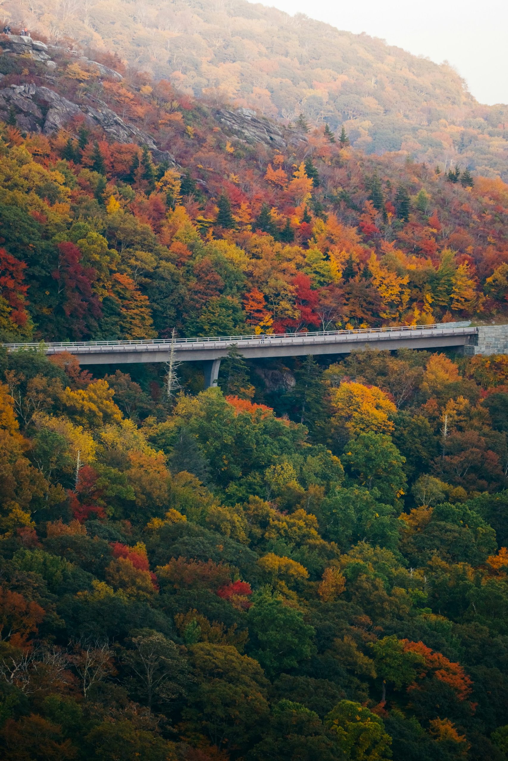
A Blue Ridge Parkway road trip is a good excuse to slow down. One morning might begin beside a lake in Virginia, another with a mill reflected in a pond, and another with layers of North Carolina mountains stretching into the distance. The road offers much more when you give the towns, walks, and meals enough time.
This complete guide covers the 469-mile corridor from Rockfish Gap, Virginia, to the Cherokee area in North Carolina. You will find a seven-day plan, overnight bases, real photos, maps, costs, and seasonal alternatives. It also explains the current closures, because planning the whole corridor now requires more than simply following the Parkway from end to end.
First Blue Ridge Parkway Trip? Start Here
Allow seven to ten days for the full corridor, check the National Park Service’s current milepost closure list, and use nearby towns for reliable overnight services. For a short break, choose one region and explore it properly.
The Parkway is a scenic visitor road with curves, overlooks, tunnels, wildlife, and changing weather. Moving time can be much slower than on a main highway. Navigation estimates also leave out stops, parking, detours, and the time needed to reach your hotel off the road.
The itinerary here connects the major regions using open Parkway sections and suitable official alternatives where needed. Check the actual access every day. A road section being open does not mean its visitor center, campground, restaurant, or every trail is operating.
Blue Ridge Parkway at a Glance
| Planning question | Quick answer |
|---|---|
| Route | Rockfish Gap near Waynesboro, Virginia, to the Cherokee area, North Carolina |
| Length | About 469 miles for the historic motor-road corridor; detours and town visits add mileage |
| Suggested trip | 7–10 days for the corridor, with arrival and departure time added as needed |
| Direction | Either direction works; this guide travels north to south |
| Useful bases | Peaks of Otter/Bedford, Floyd or Meadows of Dan, the Sparta area, Blowing Rock, and Asheville |
| General seasons | Suitable spring-through-fall periods; winter needs a shorter, access-led plan |
| Admission | No fee to drive the Parkway; camping and other activities are separate |
| Navigation | Current milepost information, official detours, and saved maps |
| Booking priorities | Accommodation, special room needs, campgrounds, and any off-Parkway attraction |
| Main mistake | Assuming the entire corridor is currently an uninterrupted through drive |
Road and visitor information was checked November 10, 2026. The dated examples below are not a complete live closure list; recheck immediately before traveling.
Table of Contents
- First Blue Ridge Parkway Trip? Start Here
- Blue Ridge Parkway at a Glance
- Current Blue Ridge Parkway Closures: What to Check
- How to Plan Your Parkway Road Trip
- Best Time for a Blue Ridge Parkway Road Trip
- A Seven-Day Blue Ridge Parkway Road Trip Itinerary
- Best Stops on the Blue Ridge Parkway
- Southern Parkway Scenery and the Cherokee Finish
- Shorter and Longer Parkway Itineraries
- Route Maps and Navigation
- Where to Stay Along the Parkway
- How Much Does a Blue Ridge Parkway Trip Cost?
- Food, Fuel, and Everyday Services
- Families, Couples, Solo Travelers, and Accessible Trips
- Photography and Local Etiquette
- What to Pack for the Parkway
- Important Contacts and Official Resources
- Common Blue Ridge Parkway Mistakes
- Frequently Asked Questions About the Blue Ridge Parkway
- Your Final Parkway Planning Checklist
- Reader Questions and Parkway Experiences
- Explore More Road Trip Guides
Current Blue Ridge Parkway Closures: What to Check
At the November 10 check, the National Park Service lists repairs, recovery work, and traffic controls in several areas. These examples affect a full-corridor itinerary:
| Area | Reported issue | Planning effect |
|---|---|---|
| James River Bridge, Virginia | Closure around mileposts 63.5–63.9; signed detour between the surrounding access points | Add time before the Peaks of Otter portion |
| Mileposts 344.2–355.3, North Carolina | Helene-related closure; recreation in the closed section prohibited | Use current official alternative roads between the northern and Asheville-area sections |
| Mileposts 405.5–411.9, North Carolina | Road-maintenance closures | Check the official connection before entering the southern high-country segment |
The Linn Cove Visitor Center is also listed as temporarily closed, and some campgrounds and other facilities have separate closures. Follow the current National Park Service notices and relevant state transport information. Do not copy a detour from an old blog or use a remote lane simply because a map offers it.
How to Plan Your Parkway Road Trip
How Many Days Do You Need?
Three days works for a selected region, such as Virginia, the Blowing Rock area, or Asheville with suitable open sections. Seven days provides a framework for the corridor. Ten days gives more room for walks, towns, weather changes, and a rest day.
A Step-by-Step Booking Checklist
- Choose dates, direction, and the regions that matter most to you.
- Check current Parkway sections, official detours, and seasonal facilities.
- Compare arrival and departure travel and any one-way vehicle charge.
- Reserve overnight bases with a sensible distance between them.
- Book priority activities and confirm room or accessibility needs.
- Save milepost information, maps, hotel addresses, and meal options offline.
- Recheck each day’s access and forecast before leaving.
What to Book Ahead and What Can Stay Flexible?
Book accommodation early for popular autumn periods, holidays, and special room requirements. Campgrounds and private attractions have separate booking systems. Keep public overlooks, casual meals, and most short outings flexible around the weather and current access.
Best Time for a Blue Ridge Parkway Road Trip
| Season | Main appeal | Main tradeoff |
|---|---|---|
| Spring | New growth, flowers in some areas, and quieter periods | Changeable temperatures, mountain weather, and staggered openings |
| Summer | Longer daylight and more seasonal services | Busy dates, storms, heat at lower elevations, and fog or cool conditions higher up |
| Fall | Foliage, town visits, and comfortable periods | Heavy demand, expensive weekends, and variable color timing |
| Winter | A shorter trip based around confirmed open areas | Snow, ice, closed facilities, and limited daylight |
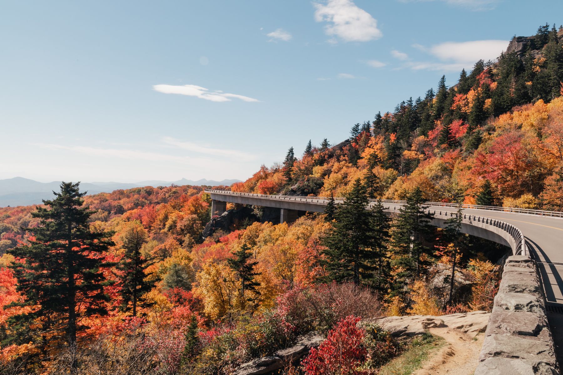
The road crosses different elevations and weather conditions. Check the forecast for the actual overlooks and overnight towns, not just a nearby airport. Autumn color varies by elevation, latitude, weather, and year; do not assume every part peaks together.
For winter, consider a town-based break with selected open sections. Keep high-elevation scenery optional and follow all gates and closures. A sunny valley morning does not establish safe conditions on the ridge.
A Seven-Day Blue Ridge Parkway Road Trip Itinerary
This plan starts with you ready to travel from the northern gateway. Add an arrival night before day one if needed. Driving is only part of each day, and the actual route must follow current official access and detours.
| Day | Region and plan | Overnight |
|---|---|---|
| 1 | Rockfish Gap, selected northern Virginia stops, and the Peaks of Otter area; allow for the James River detour | Peaks of Otter area or Bedford |
| 2 | Continue through the Roanoke region toward Floyd or Meadows of Dan | Floyd/Meadows of Dan area |
| 3 | Mabry Mill area, selected overlooks, and a manageable southern Virginia-to-northern North Carolina day | Sparta or another suitable nearby base |
| 4 | Doughton Park region and the Blowing Rock area; choose a few stops | Blowing Rock/Boone area |
| 5 | Linn Cove and the Linville area, then reach Asheville using current official alternatives around closures | Asheville |
| 6 | A focused Asheville and Craggy Gardens day, subject to access and weather | Asheville |
| 7 | Reach suitable southern Parkway sections using the current approved connection, then finish near Cherokee | Finish, or add an overnight |
Days 1–2: Virginia Without a Rush
Choose a few stops on the northern road rather than a long list of hikes. Current bridge work can change the first day’s timing. Peaks of Otter provides a natural scenic focus; a nearby town base may offer more food and accommodation choices when seasonal services are limited.
On day two, combine the road with a sensible Roanoke-area break, then continue toward your next base. Check the actual route from the Parkway to the property and the time its reception closes.
Days 3–4: Cultural Stops and Northern North Carolina
Give Mabry Mill time, with demonstrations or building visits only when the seasonal program is operating. Arrange food in a nearby community rather than assuming every historic site has an open restaurant.
Use day four for selected stops toward Blowing Rock. Leave time for roadwork controls, lunch, and checking in. An additional private attraction or a long walk should replace something else in the plan rather than become an automatic extra.
Days 5–7: Linville, Asheville, and the Southern Finish
Keep the Linville-area visit focused and check trail as well as road access. Current closures north of the Asheville region require an official alternative connection. Make this a flexible transfer day, with no tight timed reservation at the end.
Use the full Asheville day to choose a suitable Craggy Gardens visit and a nearby town or cultural activity. For the final southern segment, check the connection around current maintenance closures before leaving. If mountain weather is poor, use an appropriate regional-road finish and save the high-country stops for another visit.
Best Stops on the Blue Ridge Parkway
1. Peaks of Otter
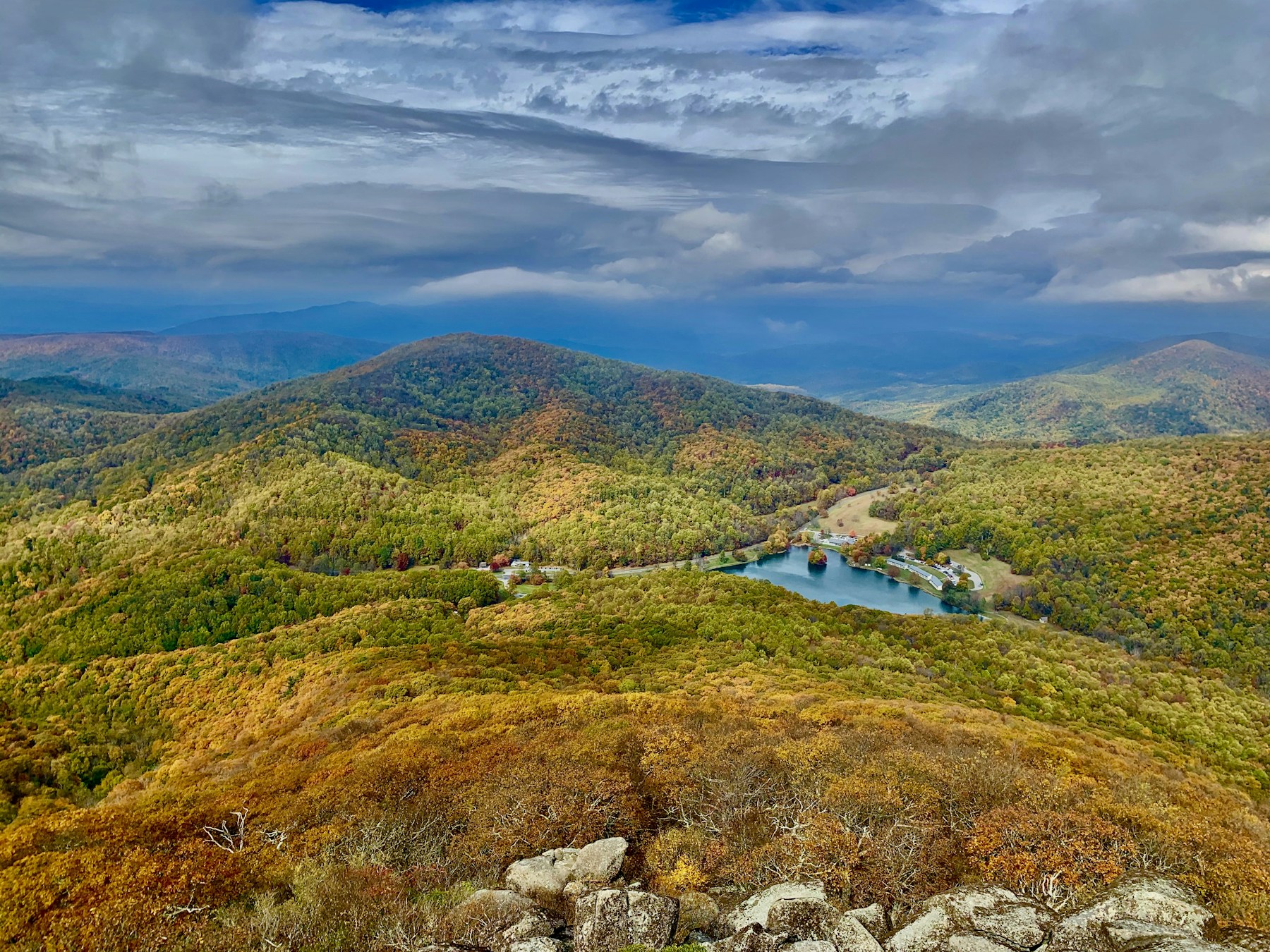
Peaks of Otter offers a memorable Virginia mountain setting and a chance to slow the trip down. Choose a suitable lake-area walk, a viewpoint, or another activity that matches your energy and conditions. A summit hike requires its own time and preparation.
| Detail | Planning notes |
|---|---|
| Best for | Scenery, a slower stop, and a Virginia overnight region |
| Location | Around milepost 86 |
| Map | Peaks of Otter |
| Time | 1–3 hours for a focused visit; longer for a substantial walk |
| Cost and booking | Parkway access differs from lodging, tours, and any paid activity |
| Accessibility | Confirm the actual path, facilities, lodging, and seasonal services |
| Nearby options | Bedford and other suitable town services, with a separate drive |
Practical tip: The photograph shows an elevated view of the area, not a promise that the same view is available from a roadside parking space.
2. Mabry Mill
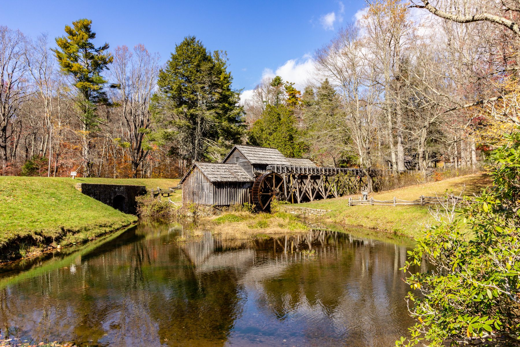
Mabry Mill is one of the Parkway’s familiar scenes, but the setting is worth more than a hurried photograph. Take time to look at the mill and understand the work and everyday life represented here. Demonstrations and building access depend on the seasonal program.
| Detail | Planning notes |
|---|---|
| Best for | Cultural history, photography, and a shorter stop |
| Location | Meadows of Dan area, around milepost 176 |
| Map | Mabry Mill |
| Time | 45–90 minutes, longer with an operating program |
| Cost and booking | Check current visitor arrangements; dining and other purchases are separate |
| Accessibility | Confirm the specific walking route, building access, and restrooms |
| Nearby options | Meadows of Dan and the Floyd region |
Practical tip: Check the program and food arrangements before relying on a lunch stop here. An open road and a photographed historic building do not establish current business hours.
3. Linn Cove Viaduct
Linn Cove brings engineering and mountain scenery together around Grandfather Mountain. It is a driving landmark, with separate possibilities for suitable walks and legal viewpoints. Keep the driver focused on the lane and save photographs for a safe stopping place.
| Detail | Planning notes |
|---|---|
| Best for | Road design, mountain scenery, and photography from permitted areas |
| Location | Around milepost 304 |
| Map | Linn Cove Viaduct |
| Time | A short stop or a longer suitable walk, depending on current access |
| Cost and booking | Check the current public-area and trail arrangements |
| Current note | The visitor center is listed as temporarily closed at the time of checking |
| Accessibility | Confirm parking, trail surfaces, and facilities rather than assuming the visitor center is available |
| Nearby options | Blowing Rock, Boone, and the Linville region |
Practical tip: Roadwork can affect the surrounding section. Use the current notices and avoid stopping on the viaduct for a photograph.
4. The Linville Area and Linville Falls
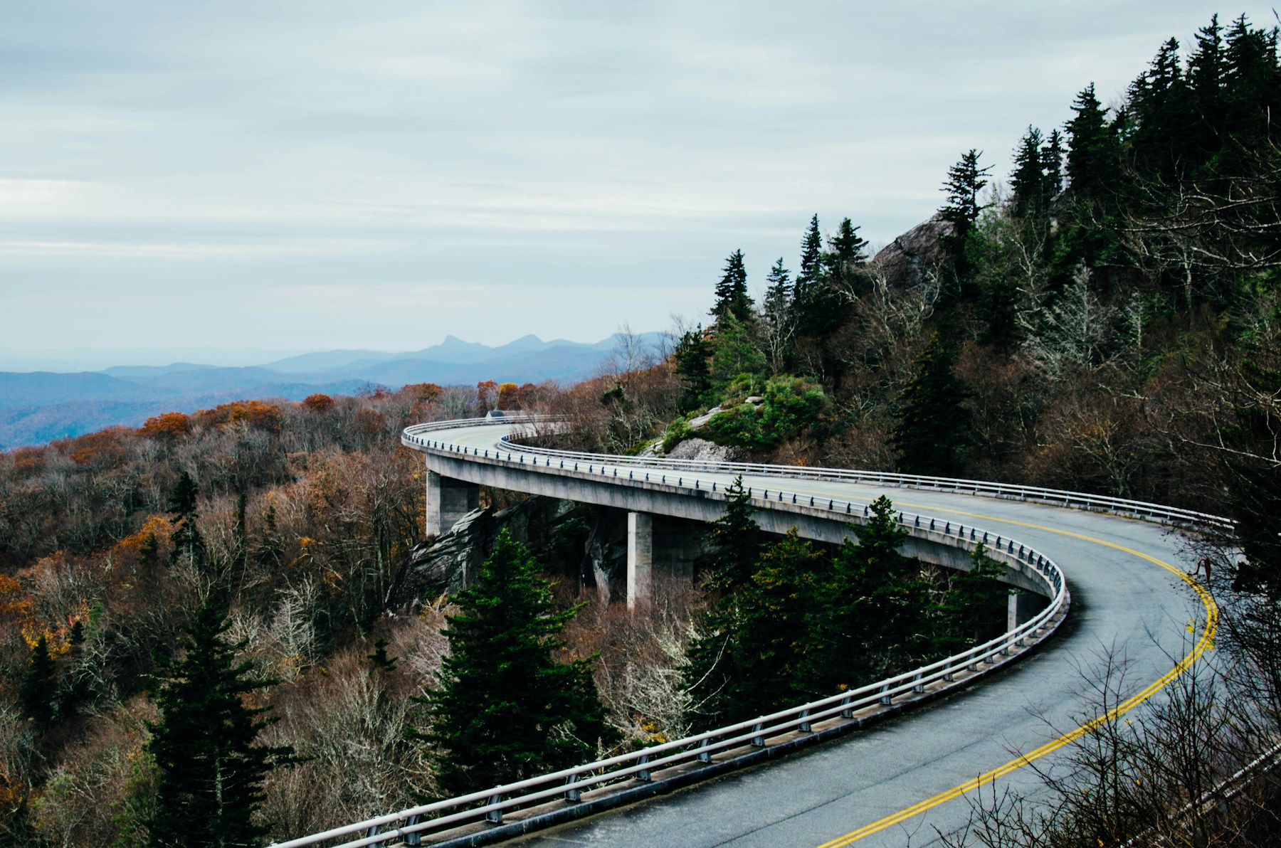
The Linville region offers a change from a quick overlook, with opportunities for a selected waterfall-area visit and forest scenery. Check the actual trail, distance, gradient, and current conditions before choosing a walk. The photograph shows Parkway road scenery in the Linville area.
| Detail | Planning notes |
|---|---|
| Best for | A selected nature walk and a regional stop |
| Location | Linville Falls spur-road area, around milepost 316 |
| Map | Linville Falls visitor area |
| Time | 1–3 hours for a suitable outing |
| Cost and booking | Check current trail, facility, and parking information |
| Current note | The campground and picnic area are listed as closed at the November 10 check |
| Accessibility | Waterfall routes differ in surfaces and effort; confirm the one that suits your group |
| Nearby options | Linville communities and the onward route toward Asheville |
Practical tip: Open access to the spur road does not mean every facility or viewpoint is available. Keep an alternative stop in the same region.
5. Craggy Gardens and the Asheville Region

Craggy Gardens brings exposed mountain scenery within an outing from the Asheville region when access allows. Wind, fog, temperature, and the actual walking route can change how demanding the visit feels. Choose the viewpoint and distance that suit the day.
| Detail | Planning notes |
|---|---|
| Best for | Mountain views, seasonal plants, and a focused nature outing |
| Location | Craggy Gardens area, around milepost 364 |
| Map | Craggy Gardens |
| Time | 1–3 hours, with additional travel from your base |
| Cost and booking | Check current public access, facilities, and any separate activities |
| Accessibility | Confirm the exact path and facilities; an exposed summit walk is different from a roadside stop |
| Nearby options | Asheville and the Folk Art Center, subject to their current hours |
Practical tip: Carry layers and check both road and trail notices. Leave enough daylight to return without rushing down a mountain road.
Southern Parkway Scenery and the Cherokee Finish
The southern part includes high-elevation scenery and the approach to Cherokee. Richland Balsam Overlook at milepost 431.4 is the highest point on the motor road, at 6,053 feet. Treat it as a weather-dependent option and verify the actual access before setting out.
Current maintenance closures nearer Asheville affect a continuous approach. Use the official connection to an open segment or a suitable regional-road alternative. The finish near Great Smoky Mountains National Park also has its own road and visitor information, separate from Parkway notices.
Add a Cherokee-area overnight if it makes the journey more relaxed. Do not put a substantial final mountain day immediately before a tightly timed flight or a long drive home.
Shorter and Longer Parkway Itineraries
A Three-Day Regional Break
Choose one cluster: northern Virginia and Peaks of Otter, the Blowing Rock/Linville region, or Asheville and accessible nearby sections. Use one or two bases and select a manageable walk or cultural visit each day.
A Ten-Day Version
Add arrival time, an extra northern Virginia night, a fuller Blowing Rock-area day, and a rest or weather day. More time is useful for hiking and cultural programs when they are operating. Check the extra activities independently rather than assuming the longer itinerary removes access restrictions.
A Winter Version
Stay in a suitable town and visit only confirmed open areas in appropriate conditions. Keep a meal, museum, or other local alternative available. High sections, campgrounds, restaurants, and visitor centers may not operate on a summer schedule.
Route Maps and Navigation
Use these for regional orientation, then follow current Parkway notices and official detours:
- Waynesboro to Peaks of Otter.
- Peaks of Otter to Meadows of Dan via Roanoke.
- Meadows of Dan to Blowing Rock via Sparta.
- Blowing Rock to Asheville via the Linville area.
- Asheville to Cherokee orientation.
These town-to-town maps may use faster regional roads and do not promise an exact Parkway alignment. Save the intended access points, inspect the road names, and download maps before areas with weak reception.
Where to Stay Along the Parkway
| Region | Useful base choices | What to check |
|---|---|---|
| Northern gateway | Waynesboro or another suitable arrival base | Arrival timing, food, and first-day road access |
| Peaks of Otter | A seasonal lodge or nearby Bedford-area property | Current opening, room details, and daily driving |
| Southern Virginia | Floyd or Meadows of Dan area | Reception, dining, and the actual road to the property |
| Northern North Carolina | Sparta or a suitable nearby community | Distance from the access point and open services |
| Blowing Rock region | Blowing Rock, Boone, or another practical base | Weekend demand, parking, and travel between stops |
| Asheville | A hotel suited to your evening and road plans | Actual location, parking, noise, and route to the Parkway |
| Southern finish | Cherokee area if adding a final night | Onward travel, seasonal conditions, and check-in |
Confirm room layout, steps, lifts, bathroom access, parking surfaces, and luggage arrangements directly. Scenic accommodation may be less convenient for meals or late arrivals than a town hotel.
How Much Does a Blue Ridge Parkway Trip Cost?
Sample Budget for Two Adults: Seven Days and Six Nights
These amounts are illustrative. Hotel assumptions include estimated taxes and mandatory fees; the vehicle allowance assumes taxes and the protection chosen in your actual rental quote.
| Item | Assumption | Total |
|---|---|---|
| Hotels | 6 nights × $180 | $1,080 |
| Food | 2 adults × 7 days × $50 | $700 |
| Rental car | 7 days × $80 | $560 |
| Fuel | Combined allowance | $180 |
| Parking and other local transport charges | Combined allowance | $60 |
| Selected activities | Combined allowance | $120 |
| One-way rental charge | Separate example allowance | $200 |
| Subtotal | Before contingency | $2,900 |
| Contingency | 10% | $290 |
| Total for two | Seven days and six nights | $3,190 |
Flights, extra gateway or finish nights, shopping, premium tours, and substantial detours are excluded. Count the one-way charge only once if your quote already includes it. A round-trip rental creates a different return-drive plan and budget.
Practical Ways to Save
Compare exact dates and town bases, mix casual meals with selected dinners, and use public scenery as the main activity on some days. Include hotel parking, taxes, and mandatory fees in comparisons. Read restaurant bills for service charges or included gratuity before deciding on an additional tip.
Food, Fuel, and Everyday Services
Plan meals in nearby communities and verify opening hours. Do not assume every historic site or scenic lodge has an operating restaurant. Carry water and appropriate snacks, especially before a longer section with limited services.
Refuel or charge before you need to. Confirm charging availability, hours, and a backup rather than relying only on a map icon. Save restrooms and useful town access points as part of the route.
For dietary requirements, check menus and speak directly to staff about ingredients and preparation. For allergies, discuss cross-contact and carry the personal information and supplies you normally use.
Families, Couples, Solo Travelers, and Accessible Trips
Families can use shorter sections and a reliable meal-and-rest routine. Couples may enjoy a quiet overnight, a cultural stop, and a relaxed dinner. Solo drivers should be conservative about fatigue and save clear arrival instructions before areas with weak mobile service.
For accessible or relaxed travel, confirm the actual overlook, path, restroom, room, and vehicle arrangements. An overlook near a car park can still have uneven ground or steps. Choose suitable outings and leave room for a lower-energy day.
Photography and Local Etiquette
Use legal overlooks and designated parking, keep clear of the road, and respect closures and private property. Do not stop on a viaduct or in a live lane for a photograph. Give residents and working businesses space and ask before taking close portraits.
Check rules for drones, commercial photography, and any permitted activity separately. Stay back from edges and wildlife. The light and foliage will change; the trip can still be worthwhile without reproducing a particular image.
What to Pack for the Parkway
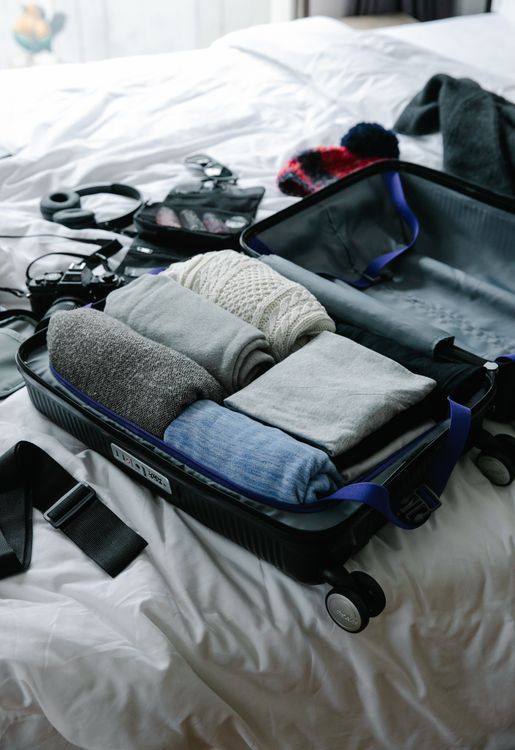
- Layers for changing elevation, rain protection, and comfortable shoes.
- Driving documents, vehicle details, and saved accommodation information.
- Water, snacks, and a sensible meal plan for remote sections.
- Chargers, a power bank, offline maps, and current milepost notes.
- Personal medication, accessibility equipment, and family essentials.
- A backup payment method and roadside-assistance details.
Check several local forecasts and keep daily essentials accessible. A mountain-view evening can become cold quickly even when your town base feels mild.
Important Contacts and Official Resources
For an immediate police, fire, or medical emergency, call 911. Save your roadside-assistance provider, insurer, accommodation, and personal contacts offline.
Use the National Park Service Blue Ridge Parkway closure list and facility pages, Virginia and North Carolina transport information, and current local visitor information. International visitors should confirm U.S. entry documents and the driving requirements that apply to their situation.
Common Blue Ridge Parkway Mistakes
- Assuming the full 469-mile corridor is an uninterrupted current drive.
- Using only a fastest-route map without checking the selected roads.
- Planning every day around long hikes plus a long transfer.
- Assuming open road sections mean open buildings, campgrounds, and restaurants.
- Forgetting the journey from the Parkway to an off-road hotel.
- Ignoring fog, winter conditions, elevation, and early darkness.
- Following an unverified shortcut around a closure.
Frequently Asked Questions About the Blue Ridge Parkway
How Long Should I Allow?
Seven to ten days provides a useful full-corridor framework. Three days is better focused on one region. Add arrival and departure time when needed.
Is the Parkway Free to Drive?
Yes, there is no fee to drive the Parkway. Camping, lodging, off-Parkway attractions, and other activities may charge separately.
Can I Currently Drive the Whole Route Without Leaving It?
The November 10, 2026 check lists several closures affecting a continuous journey. Plan using current official detours and check every day’s access before setting out.
Is Fall the Best Time?
Fall can be beautiful, but color varies and popular weekends can be crowded and expensive. Spring and summer offer different reasons to visit. Match the route to weather, access, and your interests.
Can I Take an RV or Trailer?
Check vehicle dimensions, tunnel and road information, camping, parking, and the actual detour route. A car itinerary does not establish suitability for a larger vehicle.
How Much Should Two Adults Budget?
The illustrative seven-day, six-night example totals $3,190, excluding flights and major extras. Your hotel dates, rental arrangement, and detours can change the total.
Your Final Parkway Planning Checklist
- Confirm direction, region, trip length, and gateway timing.
- Check the current milepost closure list and official alternatives.
- Reserve practical overnight bases and verify room needs.
- Save food, fuel or charging, restrooms, and check-in information.
- Allow time for curves, stops, roadwork, and hotel access.
- Choose walks and cultural visits around current operation and ability.
- Pack layers and download maps.
- Keep a weather alternative and a contingency budget.
Reader Questions and Parkway Experiences
In a published account accompanying his Craggy Gardens photography, Wes Hicks describes a longer-than-expected walk and cold, strong winds near the summit. It is a useful reminder to check the actual route, carry layers, and leave enough daylight rather than planning only around the view.
Have you traveled the Parkway? Share your section, season, overnight bases, and a practical tip. Date any road or facility observations so other readers can judge whether they still apply.
Explore More Road Trip Guides
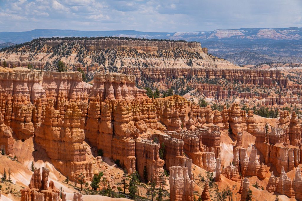
Compare other routes in our best scenic drives guide, East Coast family road trips, and New England fall foliage itinerary. For a different landscape, explore our Utah Mighty Five road trip.
What would you like to know before you go?
Send us your question, feedback, or a place you would like to see covered.
Ask a travel question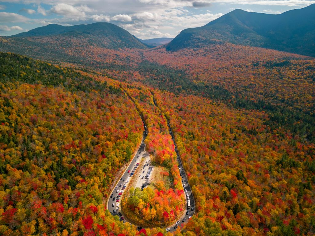
Leave a Reply